When people first arrive in Seoul, they’re often surprised by one thing:
This city is huge.
Not just in population or skyline, but in the way it stretches endlessly in every direction—connected by one of the world’s densest subway systems, countless buses, and an energy that never really stops moving.
You can spend a whole week in Seoul and still feel like you’ve only seen a corner of it.
So, how big is Seoul, really?
And if you wanted to explore it—from Gangnam to Dobong, from Mapo to Songpa—how long would it take, and how much would it cost?
Let’s find out.
📍 The Basics — Seoul at a Glance
- Official Name: Seoul Special City (서울특별시)
- Area: ~605 square kilometers (234 square miles)
→ About 1.6x the size of Chicago, or nearly the same as New York City. - Population (2025): ~9.4 million people in the city, ~26 million in the metro area (including Gyeonggi-do and Incheon).
- Administrative Divisions: 25 districts (gu, 구), each functioning almost like its own small city.
- Subdistricts: Over 400 (dong, 동).
Seoul is compact in terms of geography, but incredibly dense—about 16,000 people per square kilometer.
That’s why the subway, buses, and taxis are so central to everyday life here.
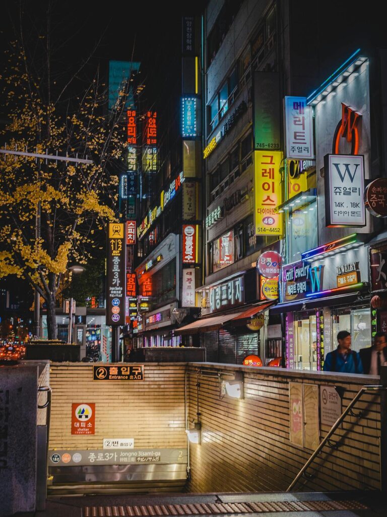
🏙️ Understanding the 25 Districts of Seoul
Seoul’s 25 gu (districts) each have distinct personalities.
Here’s a quick map-in-words:
| Area | Character |
|---|---|
| Jongno-gu & Jung-gu | Historical core – palaces, Gwanghwamun, City Hall. |
| Yongsan-gu | Embassies, Itaewon, Hannam luxury residences. |
| Mapo-gu | Hongdae, indie cafés, student nightlife. |
| Gangnam-gu | Tech & finance hub, K-pop entertainment agencies. |
| Seocho-gu | Family-oriented, high-rise apartments. |
| Songpa-gu | Lotte World, Olympic Park, modern families. |
| Gwangjin-gu | University area (Konkuk), youth culture. |
| Seodaemun-gu | Yonsei University, quieter neighborhoods. |
| Eunpyeong-gu / Dobong-gu / Nowon-gu | Northern residential hills and temples. |
| Gangbuk-gu | More affordable housing, local markets. |
| Yangcheon-gu / Gangseo-gu | Airport access, western edge. |
| Dongjak-gu / Gwanak-gu | Seoul National University area. |
| Guro-gu / Geumcheon-gu | Industrial + tech start-up zones. |
Each district has its own mini city hall, subway stops, and night vibe — so “living in Seoul” can feel like living in 25 different cities at once.
🚕 Taxi Travel in Seoul — How Much and How Long?
🚗 Base Info (2025 standard rates)
- Base fare (daytime): ₩4,800 (covers first 1.6 km)
- Per distance: ₩100 every 131m
- Night surcharge (22:00–04:00): +20%
- Idle/waiting surcharge: ₩100 every 31 seconds
So, what does that actually mean?
💡 Example Taxi Rides (Approx. Daytime Fares)
| Route | Distance | Time | Fare |
|---|---|---|---|
| Hongdae → Myeongdong | 10 km | 25 min | ₩15,000–17,000 |
| Gangnam → Itaewon | 8 km | 20 min | ₩13,000–15,000 |
| Gangnam → Jamsil (across south Seoul) | 11 km | 25–30 min | ₩16,000–18,000 |
| Seoul Station → Gimpo Airport | 20 km | 40 min | ₩25,000–28,000 |
| Seoul Station → Incheon Airport | 50 km | 60–70 min | ₩65,000–80,000 |
| Yeouido → Hongdae | 7 km | 15–20 min | ₩12,000 |
At night, expect about +20%, so a ₩15,000 ride becomes ₩18,000.
Premium taxis (black “모범택시”) start at ₩7,000 base fare but are more spacious.
💬 Tipping note: Korea has no tipping culture — the meter fare is final.
🚇 The Subway System — The Arteries of Seoul
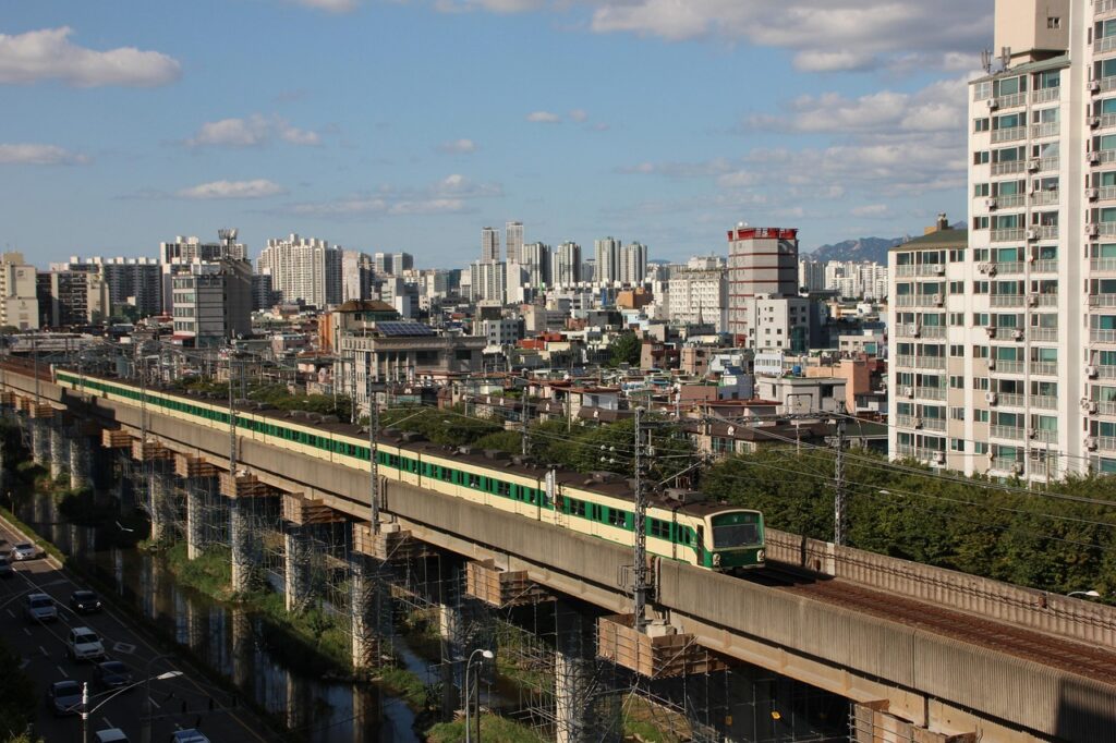
Seoul’s subway is legendary:
Over 23 lines, 700+ stations, and 600 km of total track connecting Seoul with its satellite cities in Gyeonggi-do, and even parts of Chungcheong-do.
It’s clean, fast, safe, and bilingual (English + Korean).
🕐 Longest Possible Single Ride in Seoul Metro
If you travel from Soyosan Station (Line 1, North) to Sinchang Station (South),
→ that’s about 120 km total, crossing multiple cities and even reaching Cheonan (Chungcheong-do).
Travel time: ~2 hours 20 minutes
Fare: Around ₩2,500–₩3,000 with T-money card (distance-based fare system).
Yes — for the price of a New York coffee, you can cross half of Korea’s capital corridor.
💰 Subway Fare System (2025)
- Base fare: ₩1,450 (up to 10 km)
- Add ₩100 per additional 5 km
- Transfers between lines or buses: Free (up to 4 transfers within 30 min)
💳 Payment methods:
- T-money card (sold at convenience stores)
- Kakao T, Naver Pay, or Apple Pay transit cards (mobile NFC)
- One-time paper tickets for tourists (refundable ₩500 deposit)
🚌 The Bus Network — Seoul’s Blue, Green, and Red Arteries
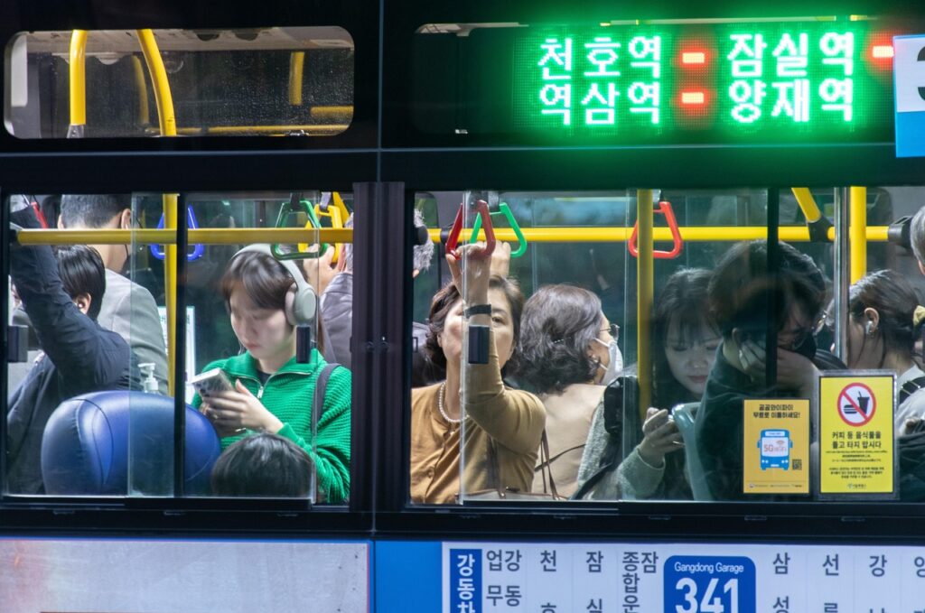
Seoul’s buses are color-coded and meticulously organized:
| Color | Function | Example |
|---|---|---|
| Blue (간선) | Cross-city main lines | Gangnam ↔ Jongno |
| Green (지선) | Local neighborhood connectors | Hongdae ↔ Yeonnam-dong |
| Red (광역) | Express routes to suburbs | Seoul ↔ Suwon, Ilsan, Incheon |
| Yellow (순환) | Circular downtown routes | Around City Hall, Myeongdong |
🚌 Longest Bus Journeys
- Bus 9700 → Gangnam ↔ Paju (1.5 hr, 40 km)
- Bus 5002 → Gangnam ↔ Suwon (1 hr, 35 km)
- Bus 6002 → Incheon Airport ↔ Hongdae (1 hr 10 min, ₩10,000 fare)
💳 Buses use the same T-money system as subways, and you can transfer seamlessly.
🕓 How Long Does It Take to Cross Seoul?
Let’s say you start at the northernmost subway stop (Dobongsan) and head to the southernmost (Geumjeong).
- By Subway: ~2 hours
- By Taxi (off-peak): ~1 hour 10 min, ₩40,000
- By Bus: 2–2.5 hours (more transfers, traffic lights)
So yes — Seoul is big enough that “crossing the city” feels like crossing a small country.
For context:
From Los Angeles Downtown to Santa Monica, you’ll drive ~25 km in 40 minutes.
Seoul’s north–south span is roughly double that, but public transit makes it smooth and affordable.
🚉 Beyond Seoul — The Greater Metro Area
Here’s the thing:
When you’re in Seoul, you’re rarely just in Seoul.
The Seoul Metropolitan Area (수도권) includes:
- Seoul (the core)
- Incheon (port & airport city)
- Gyeonggi-do Province (surrounding satellite cities like Suwon, Seongnam, Goyang, Namyangju)
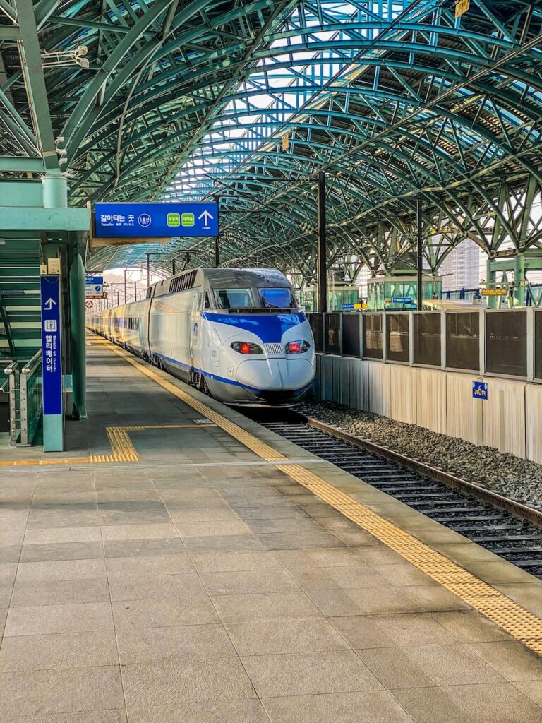
These are linked by subway, express buses, ITX trains, and highways.
Example daily connections:
- Seoul ↔ Suwon (Line 1): 1 hour, ₩1,950
- Seoul ↔ Pyeongtaek (Line 1): 1.5 hr, ₩2,300
- Seoul ↔ Incheon (Line 1): 1 hr, ₩2,050
- Seoul ↔ Chuncheon (ITX-Cheongchun): 1 hr 20 min, ₩7,300
So even if you “live in Gyeonggi-do,” you might still work in Seoul — that’s millions of commuters daily.
This interconnectivity is what makes Seoul’s economic region one of the world’s top 5 megacities by population.
🚶 Is It Walkable?
Within neighborhoods — absolutely.
Seoul has extensive pedestrian paths, parks, and riverside trails.
But crossing districts on foot? Not realistic.
Example:
- Walking from Gangnam Station → Hongdae Station (11 km)
→ ~2.5 hours on foot
→ Subway: ₩1,550 and 27 minutes.
So while locals walk a lot, they rely heavily on subways and buses for longer distances.
🚴 The Bike Option — Seoul’s Ttareungyi
Seoul Public Bike: “따릉이 (Ttareungyi)”
- Price: ₩1,000/hour or ₩20,000/month subscription
- Stations: 2,600+ across the city
- You can ride from Yeouido to Jamsil (15 km) along the Han River without ever crossing a car road.
Cycling in Seoul is safe and scenic, especially on riverside trails — but avoid rush hours and steep hilly areas (north Seoul).
💡 Fun Comparisons — Seoul vs. Other Global Cities
| City | Population | Area (km²) | Subway Lines |
|---|---|---|---|
| Seoul | 9.4M | 605 | 23 |
| New York City | 8.8M | 784 | 27 |
| London | 9.5M | 1,572 | 11 |
| Tokyo (23 wards) | 9.7M | 622 | 13 |
| Los Angeles | 3.8M | 1,302 | 6 |
→ Seoul packs nearly the same population as London into half the space, and moves them with twice the transit frequency.
No wonder visitors often say:
“You can get anywhere in Seoul — fast, cheap, and without a car.”
💬 Average Daily Transport Cost in Seoul (2025)
| Category | Local | Tourist | Notes |
|---|---|---|---|
| Subway | ₩1,550 / trip | ₩1,650 | Distance-based |
| Bus | ₩1,450 | ₩1,550 | Transfers free |
| Taxi (short ride) | ₩10,000 | ₩10,000 | No tip |
| Daily total (3–4 rides) | ₩4,500–6,000 | ₩5,000–7,000 | <$5 USD/day |
So, yes — you can travel across a megacity for less than one latte.
🏞️ Seoul’s Edges — Where City Meets Nature
One of Seoul’s most fascinating features is how urban and natural it is at once.
The city is surrounded by mountains: Bukhansan, Gwanaksan, Dobongsan, Inwangsan.
From many districts, you can literally hike a mountain in the morning, and shop at a mall in the afternoon.
That’s also why the subway now reaches Namyangju (east) and Paju (north)—urban convenience meets rural calm.
🚦 Tips for Exploring Seoul Efficiently
- Use Naver Map or KakaoMap, not Google Maps — they provide accurate transit routes and fares.
- Avoid 8–9 AM & 6–7 PM subway crowd peaks.
- Late-night transit: Subways close around 12:30 AM, but night buses (prefix N) run until 4 AM.
- Taxi surge: Friday and Saturday nights, especially in Gangnam and Itaewon, expect longer waits.
- Intercity Bus Terminals: Express Bus Terminal (Line 3/7/9) connects to nationwide routes.
🧭 The Big Picture — Seoul’s Scale You Can Feel
Seoul isn’t just a big city—it’s a living organism.
You can have breakfast near the Han River, lunch in a palace district, coffee in Hongdae, and dinner overlooking Lotte Tower—all in one day.
But if you zoom out, that same compactness is supported by incredible infrastructure.
You can go from a mountain temple to the airport in 90 minutes without owning a car.
Seoul is a megacity that moves like a small town—connected, efficient, and always awake.
🏁 Final Thoughts
Seoul’s greatness isn’t just in numbers—9 million people, 25 districts, 23 subway lines—it’s in how livable it remains despite all that.
You can step into a taxi, hop on a bus, or ride a subway to anywhere, any time.
And while it’s modern and massive, it’s also human-sized — built for connection.
So the next time someone asks,
“How big is Seoul?”
just smile and say:
“Big enough to never get bored, small enough to get everywhere.”
