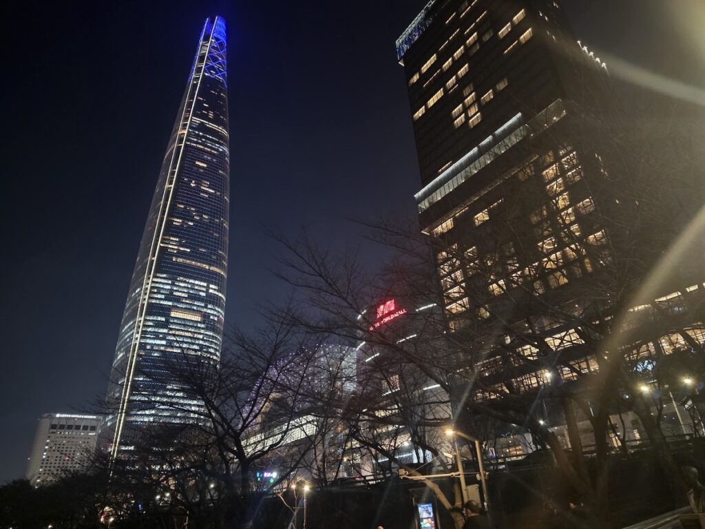
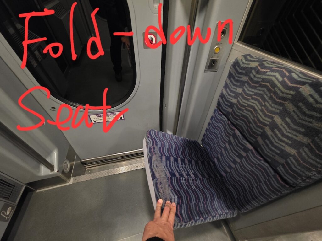
How big is Seoul? The answer is not just 605 square kilometers, 25 districts, or nearly 9.6 million residents.
You feel Seoul’s size in smaller, more practical moments.
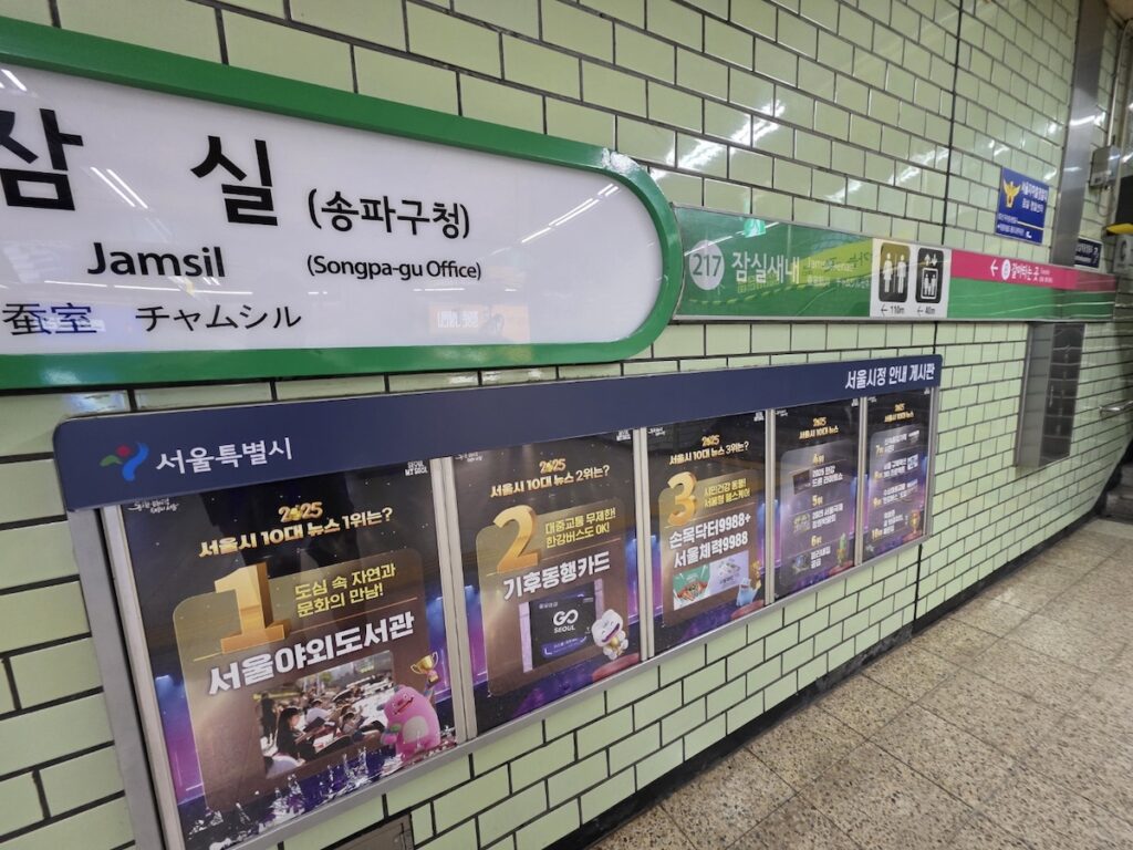
You feel it when a “quick” trip from Hongdae to Gangnam becomes a full subway transfer. You feel it when you realize that Jamsil, Itaewon, Myeongdong, Seongsu, and Yeonnam-dong are not just different stops on a map, but almost different versions of the city. You feel it when a taxi across the Han River takes longer than expected because of traffic. You feel it when a station has many exits, long underground corridors, and a shopping mall attached to it before you even reach the street.
Seoul can look compact on a map. It is not as geographically huge as some global metropolitan regions. But for first-time visitors, Seoul often feels bigger than expected because it is dense, layered, and built around rivers, hills, subway lines, business districts, old neighborhoods, and 25 separate districts that each have their own rhythm.
That is why understanding Seoul’s size is not only about numbers.
It is about travel time, walking distance, subway transfers, neighborhood planning, and knowing when not to cross the entire city just because two places looked close on your phone.
Quick Answer: How Big Is Seoul?
Seoul covers about 605 square kilometers and is divided into 25 districts. The Seoul Metropolitan Government lists Seoul’s population at about 9.58 million as of Q4 2025, while the wider Seoul Capital Area is much larger and includes surrounding cities in Gyeonggi Province and Incheon. For travelers, Seoul’s size is usually felt less through land area and more through subway travel time, Han River crossings, long station transfers, traffic, hills, and the difference between neighborhoods. A trip across Seoul can take 30 to 90 minutes depending on the route, time of day, and transportation method.
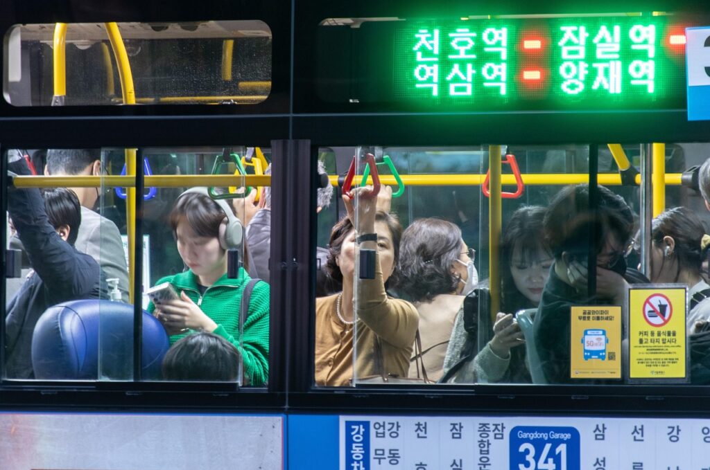
Seoul Looks Compact on a Map, But Feels Bigger in Real Life
One reason visitors underestimate Seoul is that many famous places appear close together on a map.
Gyeongbokgung, Bukchon, Myeongdong, Namsan, Hongdae, Itaewon, Gangnam, Jamsil, and the Han River all sit inside one city. When you zoom out, Seoul may seem easy to cross in a day.
But the experience on the ground is different.
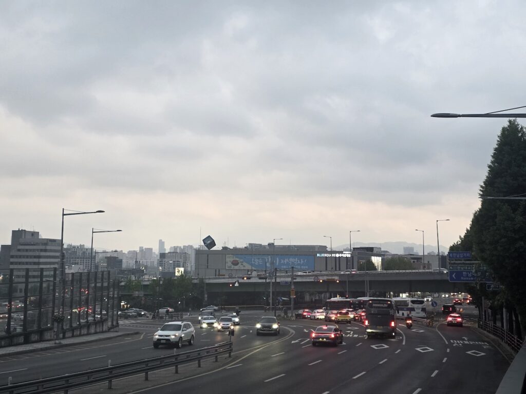
Seoul is not difficult because it is impossible to move around. In fact, the subway, buses, taxis, and walking routes are excellent once you understand them. The difficulty comes from density. A short route can include a deep subway station, a long transfer, a wrong exit, a hill, a wide road crossing, or a crowded shopping street.
The city is also divided by the Han River. Gangbuk, the northern side, contains many of Seoul’s older political, historic, and cultural centers. Gangnam, the southern side, often feels wider, newer, more business-oriented, and more car-friendly in some areas. Crossing the river is easy by subway, bus, or taxi, but it still changes the feeling of the day.
This is why Seoul can feel like several cities placed inside one transportation network.
For an official overview of Seoul’s districts and city layout, you can also check the map PDF provided by the Seoul Metropolitan Government.
The Basic Numbers: Area, Population, and Districts
Seoul’s official city area is about 605 square kilometers. Britannica also lists Seoul’s area as 234 square miles, or about 605 square kilometers. The city is divided into 25 districts, known as “gu,” and the Seoul Metropolitan Government provides district information through its official site.
But numbers alone do not explain Seoul.
A city of 605 square kilometers can feel very different depending on how people move through it. Seoul’s density, transit use, subway coverage, commercial concentration, and neighborhood variety all make its size feel larger than the number suggests.
For comparison, a visitor staying in central Paris may experience many major attractions within a relatively compact core. A visitor in New York may understand Manhattan through a strong grid. Tokyo may feel larger and more complex through its wider rail region. Seoul is different again: it is not only one central tourist core, but a set of districts connected by subway lines, bridges, buses, slopes, and daily commuting patterns.
So when someone asks, “How big is Seoul?” the practical answer is:
Big enough that you should plan by area, not by wish list.
Seoul’s 25 Districts Feel Like Small Cities
Seoul is officially one city, but its districts do not feel the same.
For visitors, this matters more than memorizing all 25 district names. You do not need to know every gu before your trip. But you should understand that moving from one district to another can feel like changing the type of Seoul you are experiencing.
| Seoul area | What visitors usually feel |
|---|---|
| Jongno / Jung-gu | Palaces, old city center, government buildings, traditional markets, major landmarks |
| Mapo | Hongdae, Yeonnam, Mangwon, youth culture, cafés, casual nightlife |
| Yongsan | Itaewon, Hannam, embassies, international restaurants, hills, foreign communities |
| Gangnam / Seocho | Business districts, clinics, shopping, wide roads, offices, nightlife |
| Songpa | Jamsil, Lotte World Tower, Seokchon Lake, family-friendly modern Seoul |
| Seongdong | Seongsu, Seoul Forest, cafés, pop-ups, creative commercial spaces |
| Gwangjin | Konkuk University area, student nightlife, local food streets |
| Northern Seoul | Residential districts, mountains, local life, longer commuting patterns |
| Western Seoul | Gimpo Airport access, residential areas, business parks, local markets |
This is why a first-time Seoul itinerary should not jump randomly across the map.
Hongdae and Gangnam are both famous. But they are not close in feeling. Myeongdong and Jamsil are both useful for visitors. But they belong to different sides of the city experience. Itaewon and Seongsu may both look trendy online, but the way you move through them is different.
A good Seoul trip respects these differences.
How Long Does It Take to Cross Seoul?
Travel time in Seoul depends heavily on the route, time of day, transfers, traffic, and how far your destination is from the station exit.
Still, rough ranges are useful for first-time visitors.
| Route | Typical subway feel | Taxi feel | What it means for your day |
|---|---|---|---|
| Hongdae to Gangnam | About 35–50 minutes | Traffic-sensitive, often 30–60 minutes | Crossing from youth/west Seoul to business/south Seoul |
| Myeongdong to Jamsil | About 35–50 minutes | Often 30–50 minutes | Old central Seoul to modern east Seoul |
| Seoul Station to Gimpo Airport | About 25–40 minutes | Often 35–60 minutes | Practical airport or rail connection |
| Gangnam to Itaewon | About 25–40 minutes | Can be quick or slow depending on traffic | Short on map, variable in real life |
| Northern Seoul to Gangnam | Often 60–90 minutes | Can be long and expensive | A real cross-city trip |
| Seongsu to Hongdae | Often 35–50 minutes | Traffic-dependent | Trendy area to youth nightlife, but not next door |
These are not promises. Seoul traffic can change the taxi experience quickly. Subway apps may show a clean route, but the real journey includes walking to the station, finding the right platform, transferring, and exiting correctly.
For travelers, the lesson is simple:
Do not plan Seoul only by distance. Plan it by total movement.
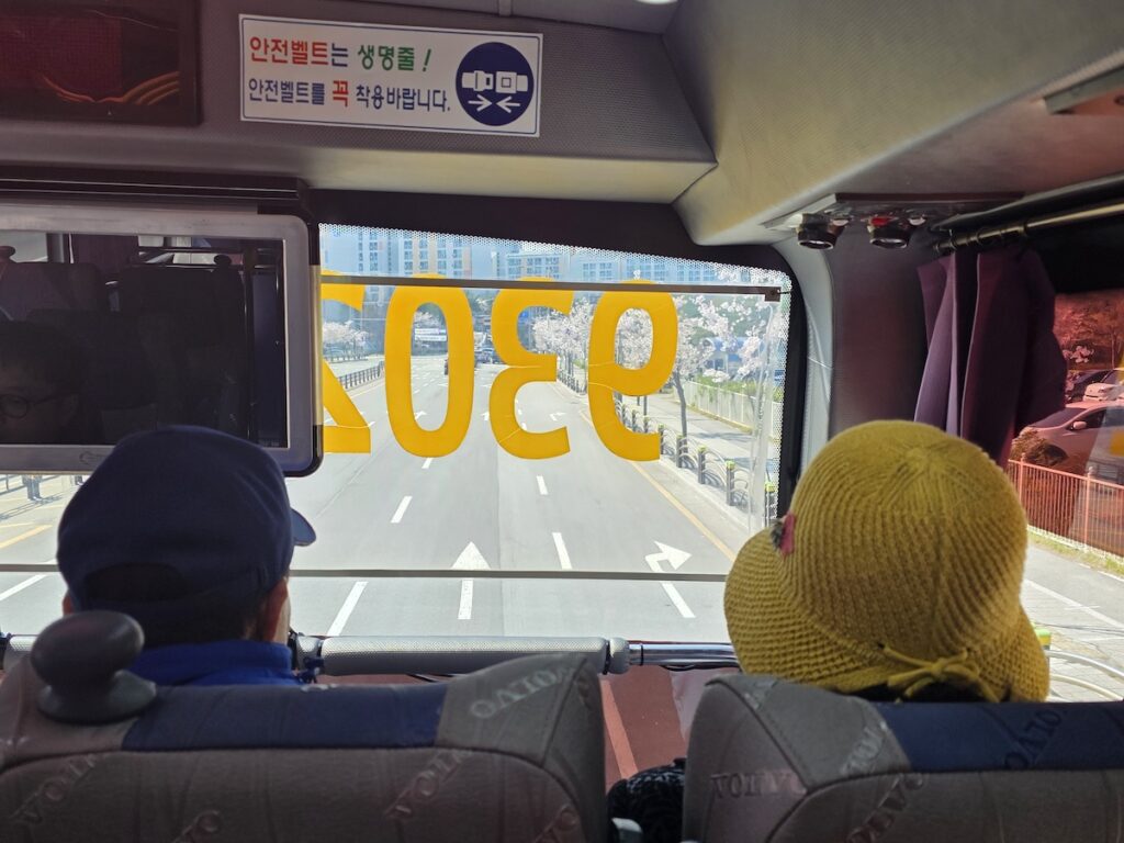
Subway, Bus, Taxi, or Walking?
Seoul has several good transportation options, but each one works best in different situations.
The subway is usually the safest choice for first-time visitors moving across districts. It is predictable, extensive, and avoids road traffic. But subway stations can involve stairs, long transfers, and exits that matter more than visitors expect.
Buses are useful for shorter local movement and routes that subway lines do not handle directly. They can also show you the city from above ground. But buses require more confidence with apps, stops, and direction.
Taxis can be useful late at night, with luggage, with children, or when the subway route is awkward. Seoul’s official taxi information lists a standard taxi base fare of 4,800 won up to 1.6 km, with distance and time-based increments after that. Late-night surcharges can apply, so taxi cost and convenience depend heavily on timing.
Walking is excellent inside neighborhoods, but not always between neighborhoods.
| Situation | Usually best option |
|---|---|
| Moving across Seoul | Subway |
| Short local movement | Walking or bus |
| Late night after subway service | Taxi or night bus |
| Traveling with luggage or children | Taxi may be easier |
| Riverside movement | Walking or Seoul public bike |
| Airport transfer | AREX, airport bus, or taxi depending on luggage and hotel location |
| Exploring one neighborhood deeply | Walking |
| Crossing multiple districts in one day | Subway plus realistic rest breaks |
The goal is not to use only one method. Seoul works best when you combine them.
Is Seoul Walkable?
Yes, Seoul is walkable.
But it is walkable by neighborhood, not always as one whole city.
This distinction matters.
You can walk around Seochon, Bukchon, Ikseon-dong, Myeongdong, Hongdae, Yeonnam, Seongsu, Mangwon, or parts of Gangnam and feel like the city is very pedestrian-friendly. You can wander between cafés, restaurants, shops, markets, subway exits, and side streets.
But walking from one major district to another can be a different story.
Seoul has hills, wide roads, long bridges, large station areas, underground malls, and neighborhoods that change elevation quickly. Places like Itaewon, Haebangchon, Namsan, Bukchon, Samcheong-dong, and northern residential areas can be more physically demanding than they look on a map.
So the best rule is:
Walk inside an area. Use transit between areas.
That is one of the simplest ways to make Seoul easier.
The Han River Changes the Feeling of Seoul
The Han River is not just scenery. It shapes Seoul’s geography and daily movement.
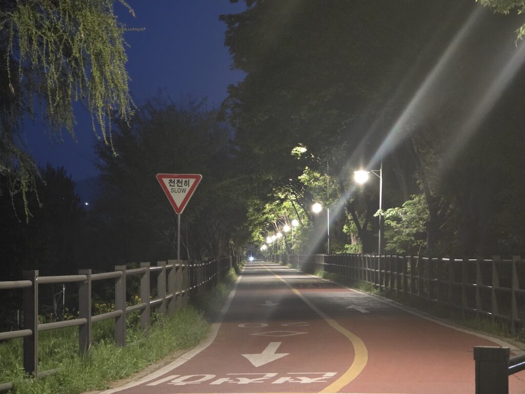
Many first-time visitors think of the Han River as a picnic spot, a cycling path, or a place for ramyeon at night. It is all of those things. But it is also the line that divides much of the city’s emotional map.
Gangbuk, north of the river, often contains more of the historic Seoul that visitors imagine first: palaces, old neighborhoods, traditional markets, and older central districts.
Gangnam, south of the river, often feels newer, wider, more commercial, and more connected to business, education, clinics, shopping, and apartment life.
This is an oversimplification, of course. Both sides contain many different neighborhoods. But as a traveler, you will feel the river. Crossing it can turn a short itinerary into a larger day.
If you plan breakfast in Jongno, lunch in Seongsu, dinner in Gangnam, and drinks in Hongdae, you may technically stay within Seoul. But your body may feel like you crossed several cities.
How Seoul Compares With Other Big Cities
Seoul is not the largest city in the world by land area, but it can feel much bigger than expected when you actually travel through it.
This is because city size is not only about square kilometers. For visitors, a city feels big through subway transfers, traffic, walking distance, hills, hotel location, and how many different “centers” the city seems to have.
Seoul is different from cities where most tourist activity is concentrated in one compact historic core. It is also different from cities where visitors rely mostly on taxis, rental cars, or walking. Seoul is a subway-heavy, district-based city where each area can feel like its own small urban world.
| City | How it often feels to visitors | What makes it different from Seoul |
|---|---|---|
| Seoul | Dense, fast, district-based, subway-heavy | Many major areas are spread across the Han River, hills, business zones, old centers, and university districts |
| Tokyo | Huge, layered, and rail-centered | Larger metropolitan scale, many major rail hubs, even more complex urban spread |
| New York | Big but easier to visualize in Manhattan | Manhattan’s grid helps visitors understand direction, while Seoul feels less grid-like |
| London | Spread out and slower between zones | Longer cross-city journeys, zone-based travel, and a wider low-rise urban feel |
| Paris | More compact in the central tourist core | Many famous sights feel closer together than Seoul’s major districts |
| Singapore | Smaller and more controlled spatially | Easier to understand as a whole city-state, with highly organized transit |
| Hong Kong | Dense, vertical, and harbor-shaped | Compact but steep, with strong movement between island, Kowloon, and New Territories |
For example, Paris may feel easier for a first-time visitor who wants to walk between classic sights. New York can feel large, but Manhattan gives travelers a strong north-south grid. Tokyo may feel even bigger than Seoul because its metropolitan rail region is enormous and has many centers.
Seoul sits somewhere different.
It is not impossible to cross, but it rarely feels like one simple center. A day that starts near Gyeongbokgung can feel historic and official. A few subway rides later, Gangnam feels like a business and clinic city. Jamsil feels like a modern family-and-shopping district. Hongdae feels young and loud. Itaewon feels international and hilly. Seongsu feels trend-driven and industrial.
This is why Seoul’s size is not only physical. It is cultural and emotional.
A visitor may not remember the exact number of square kilometers. But they will remember the feeling of realizing that “Seoul” is not one mood. It is several versions of the city connected by subway lines.
Seoul may not be the biggest city on a global map, but it can feel big because every district asks you to change rhythm.
Seoul vs Other Global Cities
Comparing city size can be tricky because every city defines its boundaries differently. Some comparisons use the official city, some use the metropolitan area, and some use the tourist core.
Still, visitors often understand Seoul better when they compare how it feels.
| City | What visitors may notice |
|---|---|
| Seoul | Dense, subway-heavy, district-based, shaped by the Han River and mountains |
| Tokyo | Vast metropolitan rail region, many centers, very large urban spread |
| New York | Strong Manhattan grid, borough-based travel, subway plus walking |
| London | Spread-out, zone-based travel, longer cross-city trips |
| Paris | More compact central tourist core, strong walking culture in central areas |
| Singapore | Smaller land area, highly organized transit, easier to understand spatially |
| Hong Kong | Dense, vertical, harbor-shaped, fast transit between key districts |
Seoul’s challenge is not that it is impossible to understand. It is that it can look simpler than it feels.
A first-time visitor may think, “It is just one city.”
After a few days, they may realize, “Each area has its own logic.”
That is the moment Seoul starts to make sense.
The Biggest Travel Mistake: Planning Seoul Like a Small City
One of the most common travel mistakes in Seoul is putting too many famous places into one day.
A schedule like this may look exciting:
Gyeongbokgung in the morning.
Bukchon before lunch.
Myeongdong in the afternoon.
Gangnam for shopping.
Hongdae at night.
Han River after dinner.
Technically, some version of this may be possible. But it is not a good way to feel Seoul.
The problem is not only travel time. It is also decision fatigue, walking, weather, food timing, crowds, wrong exits, waiting, shopping bags, hills, and the feeling that you are always leaving one place before it has made sense.
Seoul rewards area-based planning.
A better day might be:
Gyeongbokgung, Seochon, Bukchon, Insadong, and Ikseon-dong.
Or:
Hongdae, Yeonnam, Mangwon, and a casual night nearby.
Or:
Seongsu, Seoul Forest, Ttukseom, and a Han River walk.
Or:
Gangnam, COEX, Seonjeongneung, and Jamsil.
This does not mean you must travel slowly all the time. It means that Seoul becomes easier when you stop treating it like a checklist.
Where Should First-Time Visitors Stay?
Understanding Seoul’s size helps you choose where to stay.
There is no single best area for everyone. The right neighborhood depends on what kind of trip you want.
| Area | Good for | What to consider |
|---|---|---|
| Myeongdong / Jongno | First-time sightseeing, palaces, central access | Convenient but tourist-heavy |
| Hongdae / Mapo | Younger energy, nightlife, airport access, cafés | Can be busy and noisy |
| Gangnam | Business, clinics, shopping, southern Seoul | Farther from some historic sights |
| Jamsil / Songpa | Families, Lotte World, Seokchon Lake, modern east Seoul | Less central for old Seoul attractions |
| Itaewon / Yongsan | International food, nightlife, embassies, central-ish location | Hilly in some areas |
| Seoul Station | Rail and airport convenience | Practical, but not always the most charming |
| Seongsu | Trendy cafés, pop-ups, Seoul Forest | Good for style-focused trips, not always ideal for first timers |
A common mistake is choosing a hotel only because it looks close to one famous attraction.
Instead, think about your daily routes. If you plan to spend most days around palaces, markets, and old neighborhoods, staying in Gangbuk may make sense. If your trip is focused on clinics, business, shopping, or southern Seoul, Gangnam may work better. If you want youth culture and easier airport rail access, Hongdae can be practical.
In Seoul, hotel location does not just affect comfort. It affects how tired you feel.
How Many Days Do You Need in Seoul?
You can see a little of Seoul in two days.
You can understand the basics in four or five days.
You can start feeling the city’s different layers after a week.
Here is a simple way to think about it.
| Time in Seoul | What you can realistically do |
|---|---|
| 1–2 days | Major highlights only, very limited neighborhood depth |
| 3–4 days | First-time core Seoul: palace area, shopping, one nightlife area, one modern district |
| 5–7 days | Better rhythm: neighborhoods, food, Han River, cafés, markets, slower walking |
| 8–10 days | Seoul starts to feel like multiple cities, not one destination |
| 2 weeks or more | Good for expats, slow travelers, language students, or deeper daily-life exploration |
If your trip is short, do not try to “finish” Seoul.
You cannot.
Choose the version of Seoul that fits your trip.
What Seoul’s Size Means for Food and Nightlife
Seoul’s size also affects how you eat and go out at night.
A restaurant in Mangwon is not just “near Hongdae” in the way tourists may imagine. A dinner in Itaewon and drinks in Gangnam may look possible, but moving between them can interrupt the night. A café in Seongsu and a market meal in Gwangjang belong to very different walking and subway rhythms.
For food, it is usually better to plan meals by area.
If you visit Gyeongbokgung, look around Seochon, Bukchon, Insadong, or Jongno. If you visit Hongdae, consider Yeonnam, Mangwon, or Sinchon. If you visit Jamsil, think about Seokchon Lake, Songpa, or nearby mall areas. If you visit Gangnam, do not assume Hongdae is a quick after-dinner hop.
Nightlife is similar.
Hongdae, Itaewon, Gangnam, Euljiro, and Jongno all have different codes. Choosing one good night area is often better than trying to move between three.
What Seoul’s Size Means for Families and Older Travelers
Seoul can be tiring for families and older travelers if the itinerary is too spread out.
The subway is convenient, but stations may involve stairs, long transfers, crowds, and standing. Taxis can help, but traffic and cost matter. Walking routes can be pleasant, but hills and uneven sidewalks may become tiring faster than expected.
If you are traveling with children, older parents, or anyone with mobility concerns, plan fewer districts per day.
Choose one main area, one meal, one rest point, and one optional activity.
For example:
- Palace area plus nearby lunch and café
- Jamsil plus Seokchon Lake and Lotte World area
- Hongdae plus Yeonnam or Mangwon
- Seongsu plus Seoul Forest
- Myeongdong plus Namsan only if energy allows
A realistic Seoul day is often better than an ambitious one.
Public Bikes, Riverside Movement, and Short Trips
Seoul’s public bike system, Ttareungyi, can be useful in some areas, especially near the Han River or flatter routes. Seoul’s official information describes Ttareungyi as a public bike service with 1-hour and 2-hour ticket options, and another city page lists the short-term 1-hour rental fee as 1,000 won with extra charges after the time limit.
For visitors, bikes are best treated as a local movement option, not a replacement for the subway.
They can be nice near parks, river paths, and flatter neighborhoods. They are less ideal for steep hills, unfamiliar traffic areas, rainy days, or long cross-city travel.
Use them when the route feels simple.
Do not use them just because Seoul looks close on the map.
Final Thoughts
So, how big is Seoul?
Seoul is about 605 square kilometers, divided into 25 districts, with roughly 9.6 million residents inside the city and far more people moving through the wider metropolitan region. Those numbers matter.
But they are not what travelers remember.
Travelers remember Seoul’s size through movement.
They remember the long transfer at a subway station. The feeling of crossing the Han River. The difference between Hongdae and Gangnam. The way Jamsil feels like another center of the city. The hills around Itaewon. The old streets near Jongno. The wide roads in southern Seoul. The moment they realize that one more destination may be technically possible, but not emotionally worth it.
Seoul is not a city you understand by checking off places as quickly as possible.
It is a city you understand by choosing areas, respecting travel time, walking within neighborhoods, using transit between them, and leaving enough space for the city to feel like more than a map.
The best Seoul itinerary is not the one that proves you crossed the most districts.
It is the one that helps you understand why each district feels like its own version of Seoul.